Identifying Aircraft in Satellite Imagery – Center for Data Innovation

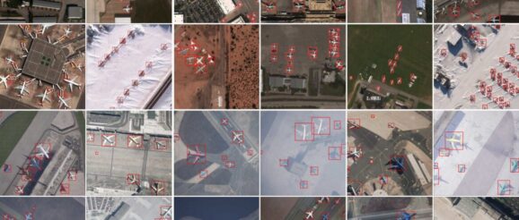
In-Q-Tel, a U.S. government-funded venture capital firm, and AI.Reverie, a startup based in New York that creates synthetic data to train machine learning algorithms, have released a dataset of satellite imagery. The duo released the dataset, which combines 250 real satellite images and more than 50,000 synthetic images, to advance the development of computer vision systems that can detect aircraft. The images contain numerous labels, such as an aircraft’s length, wingspan, and number of engines.
